Large Certified Hydrographic Survey and Sediment Survey Completed
March 5th, 2013
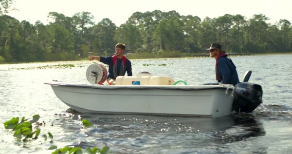
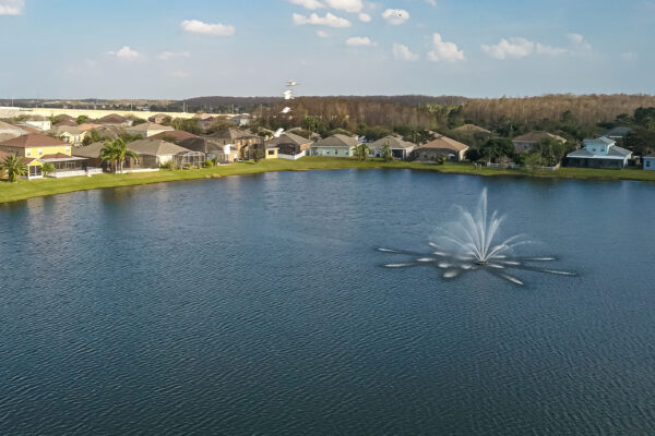
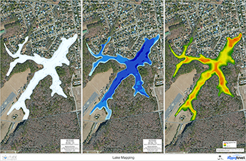 SOLitude Lake Management completed a certified hydrographic survey and sediment survey as part of a dredging analysis report. This 29 acre lake, originally built in the early 1900’s, has an average water depth of 2.6 feet. Through sediment sampling, the average soft sediment thickness is 2.1 feet. Over time the lake has lost almost half of its original capacity to sediment. The estimated sediment volume was calculated and shown on a map. This will allow engineers to create an efficient removal plan. Dredging contractors can bid with confidence on how much sediment is actually in the lake. The homeowners will ultimately benefit most from having an initial hydrographic survey because they will be able to control the project from start to finish – taking out the guess work and making sure their lake is restored for the lowest cost possible.Read The Mapping Network’s blog for more information.
Contact the experts at 888-480-5253 for all of your lake, pond and fisheries management needs.
Since 1998, SOLitude Lake Management has been committed to providing full service lake and pond management services that improve water quality, preserve natural resources, and reduce our environmental footprint. Services are available throughout the Eastern United States. Fisheries management consulting and aquatic products are available nationwide. Learn more about SOLitude Lake Management and purchase products at www.solitudelakemanagement.com.

