How Data Collection Helps Build Successful Lake, Pond & Fisheries Management Plans
Lake, stormwater pond, wetland, and fisheries management is a complex field full of surprising puzzles and never-ending challenges. Effective management of our water resources depends on many different factors, making it critically important to understand the unique characteristics of your waterbody and identify how these elements can change over time. This is where data comes in. Modern tools and technologies have enabled freshwater management scientists to gain deeper insights into the unique physical, chemical, and biological components in your waterbody and make more informed decisions about your management approach.
There are many different data gathering tools. Some of the most widely used are water quality assessments, bathymetric mapping, and electrofishing. Your lake management professional may utilize some of these methods as needs arise or on a recurring basis as part of a professional annual management program. Each method provides vital information that simply cannot be determined with visual inspections.
Water Quality Assessments
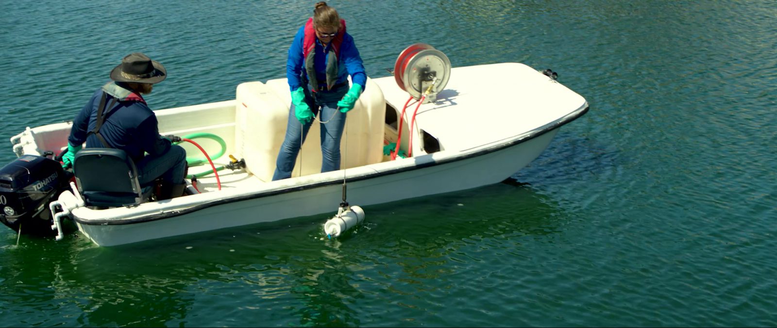
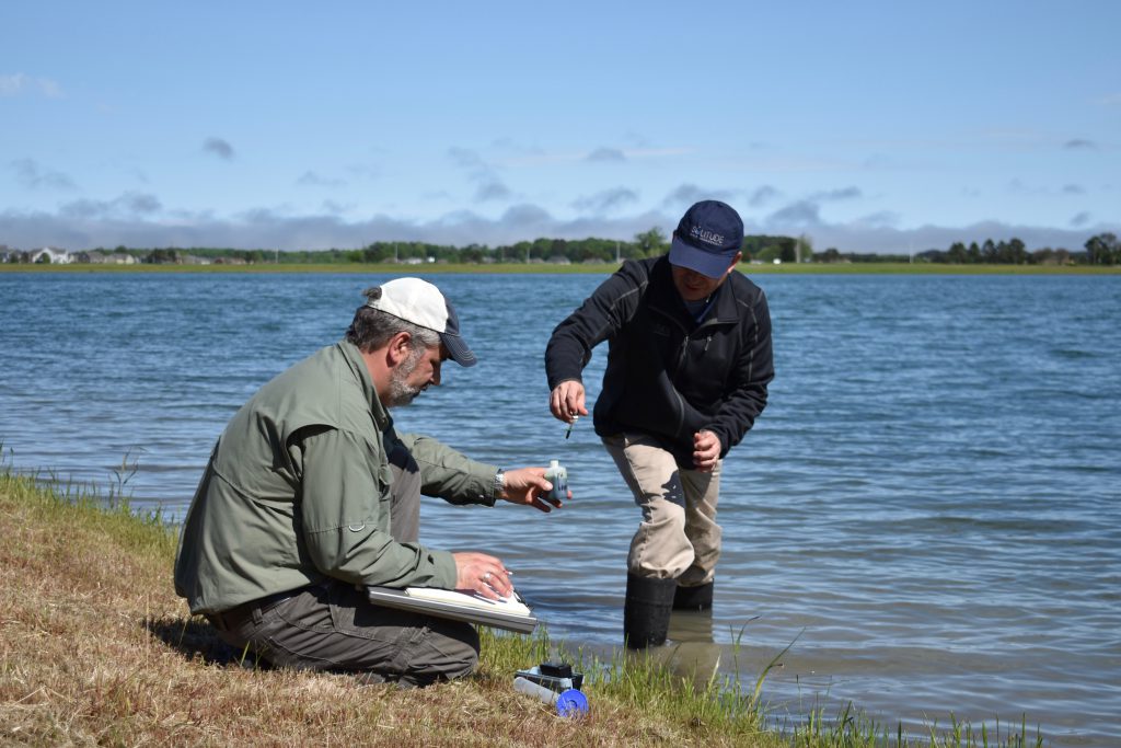
Most of the lake and pond issues that we face can be traced to an imbalance in water quality—so understanding the many constituents and demands on your waterbody is essential. Think of professional water quality assessments like a physical for your waterbody. An array of scientific tests are conducted to check its vitals and establish an initial baseline of health. SOLitude offers several assessment packages that can be selected based on your goals. Each assessment is thoughtfully designed to evaluate many parameters, including pH, nutrient levels, alkalinity, dissolved oxygen, and more.
Professional lake assessments are followed by scientific reports that guide the creation of custom management plans to fulfill your waterbody’s unique needs. Every 1-2 years, or as the need arises, these tests may be repeated to track changes and identify areas of potential concern.
Over time, the comprehensive scientific data can be used to:
- Identify root causes of recurring issues
- Predict and prevent the onset of future water quality problems
- Make better-informed proactive management decisions
- Achieve more impactful and long-lasting results
- Reduce your environmental footprint and cut management costs
Lake Mapping & Bathymetry
Have you ever wondered what the bottom of a waterbody truly looks like or how it appears from above? Have you considered what kinds of changes have occurred over the years? With the proper training, equipment, and access to specialized technology, accurate answers to these questions can be produced. This information provides useful insights into the status of your waterbody, which can be used to inform effective management decisions and practices.
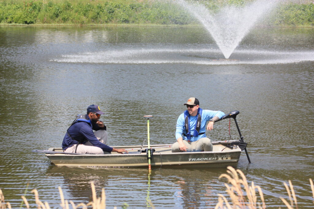
There are several types of mapping services. Bathymetric mapping combines integrated GPS and depth-sensing technology to “see” below the surface. The data is used to create a detailed, three-dimensional model of your waterbody that facilitates accurate volume calculations. Conversely, a surface mapping assessment allows lake managers to utilize GPS software and satellite imagery to calculate the exact surface area of the water resource. It is also used to identify the locations of physical and structural components such as inlet and outlet structures, fountains, aeration systems, and fish habitats. Finally, a sediment analysis can be used to quantify the accumulation of sediment on the bottom of a lake or pond and the rate at which it will continue to occur without intervention.
Once adequate data is collected, it can be used by lake management professionals to help you:
- Create aquatic vegetation maps for planning and permitting
- Find the perfect lake and pond aeration system design and placement
- Estimate the timing and necessary budget for a successful dredging project
- Effectively place or improve fish habitat
What is Lake Mapping?
SOLitude Lake Management offers the most technologically advanced lake mapping services available on the market, providing the most detailed and highest quality mapping products you can buy, for a competitive price.
Electrofishing
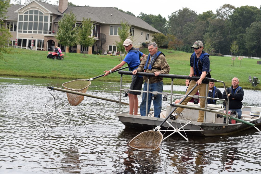
That brings us to electrofishing. This is a fish sampling tool often used by private property owners and fishing clubs, but can also be an invaluable resource for communities looking to learn more about the characteristics of their water resources. Electrofishing assessments allow fisheries biologists to gather fish data, providing insights into species types, fish size and the health of populations.
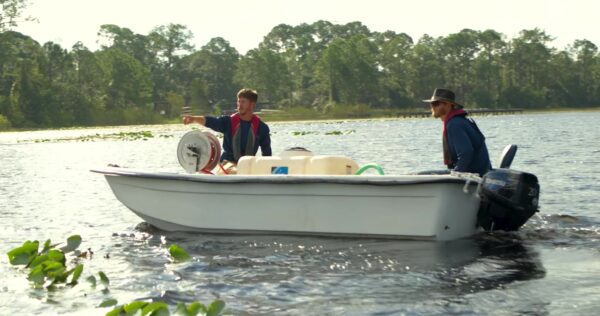
A specialized electrofishing boat equipped with a generator is used to complete this process. Trained fisheries management professionals strategically use the equipment to produce a small electric field that stuns fish momentarily. The fish are carefully collected and placed in an onboard live well where they are observed before being returned to the water. Depending on the goals for the waterbody, electrofishing assessments may be recommended annually, bi-annually or once every few years.
Electrofishing is an effective data collection tool that can be used to help:
- Identify and remove invasive and potentially harmful fish species
- Determine stocking needs to accommodate community fishing activities
- Make accurate decisions and improve pond management techniques
- Provide context for potential areas of concern, including shoreline erosion, excess nutrients and other issues
What is Electrofishing (Electroshocking)?
As part of a fisheries management plan, SOLitude’s fisheries biologists use a sampling technique called electrofishing (known to some as electroshocking) to collect fish population data allowing more accurate decisions and improved fisheries management strategies
Investing Your Resources To Gather Data On Your Pond Will Payoff In The Long Run
In our data-driven world, it’s no surprise that data is used to inform the management of our water resources. Freshwater maintenance has come a long way from decades past where aquatic specialists relied more on reactive tools than proactive solutions. Today, however, reputable firms leverage as many technologies at their disposal while driving other new innovations like advanced drones, Oxygen Saturation Technology, and other cutting-edge solutions. Though data collection comes at a cost, it should be viewed as an investment into your waterbody and a tool to make smarter management decisions that help reduce expenses over time. When evaluating a lake or pond management professional, make sure they prioritize data collection to maximize the enjoyable, memorable moments spent with loved ones around the water.
WHO WE ARE
At SOLitude Lake Management we’re dedicated to making water a more healthy and beautiful part of our environment and our world. In that pursuit we offer sustainable, comprehensive lake and pond management solutions.
What Pond Management Solution Are You Seeking?
SOLitude Lake Management is a nationwide environmental firm committed to providing sustainable solutions that improve water quality, enhance beauty, preserve natural resources and reduce our environmental footprint. SOLitude’s team of aquatic resource management professionals specializes in the development and execution of customized lake, pond, wetland, and fisheries management programs that include water quality testing and restoration, nutrient remediation, algae, and aquatic weed control, installation and maintenance of fountains and aeration systems, bathymetry, shoreline erosion restoration, mechanical harvesting and hydro-raking, lake vegetation studies, biological assessments, habitat evaluations, and invasive species management. Services and educational resources are available to clients nationwide, including homeowners associations, multi-family and apartment communities, golf courses, commercial developments, ranches, private landowners, reservoirs, recreational and public lakes, municipalities, drinking water authorities, parks, and state and federal agencies. SOLitude Lake Management is a proud member of the Rentokil Steritech family of companies in North America.

